An associate of mine in Greece, Barking Pete, sends me an email about the real position of Aetos Paliokastro and, because of its interest, I thought that I should share part of it with my readers. He and a friend who calls himself 'Aristomenes' after the famous Messenian hero recently re-visited the town of Aetos in order to definitely establish the former castle at the top of Paliokastro hill as well as get some more information and photos of the cyclopean wall in the town of Aetos itself.
Now I had the position of Paliokastro (C168) at 37.244601° N, 21.838944° E with an error radius of 50 m. This was quite wrong; Pete establishes the actual position on a small neighboring hill just to the E at 37.243872° N, 21.842411° E. The distance between them is more than 300 m. The atlas has now been corrected for C168.
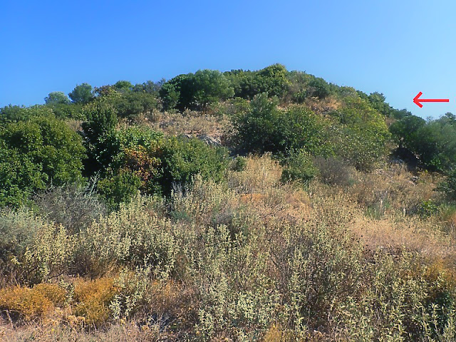
On the ground it looks like this:
Pete and Aristomenes took a number of pictures while they were there.
This next is of the small hill that Paliokastro sits on:
... and here is a portion of the outer wall on the W side of Paliokastro:
Of his experience at Paliokastro Pete says:
"After a bumpy ride up a rutted track, we arrived at the small hillock that defines the Franksh/Byzantine castle. It's a small affair and in a somewhat ruined state. There are visible traces of the walls, some higher, some collapsed. The Frankish walls and towers constructed with mortar are best preserved to a height of a metre or so. The stones are large 'brick-sized' or bigger but able to be placed easily by one person. There is a central "keep" with an underground cistern - so it must have had a roof to collect the rainwater.
There were many ceramic sherds on the site. Our findings agree with Simpson et al when they note that most sherds are found on the hill to the east and north east of the access track. We also found a lot of pottery fragments above the track - but that put them on the west/northwest side of the hill itself. The ceramics were less evident on the east side of the hill, if only because that was the steeper side and they may have been washed down to a greater extent over time. As the east side of the hill was very overgrown further down we did not venture far there."
Pete's reference to Simpson is Simpson [1981] 'F 215 Aetos: Palaiokastro', pg. 138.
Biblio
Simpson [1981]: Simpson, Richard Hope. Mycenaean Greece. Park Ridge, New Jersey: Noyes Press, 1981.


No comments:
Post a Comment